

Payment & Security
Maksutietosi käsitellään turvallisesti. Emme tallenna luottokorttitietoja, emmekä ole pääsyä luottokorttitietoihisi.
Don’t Miss These Deals!


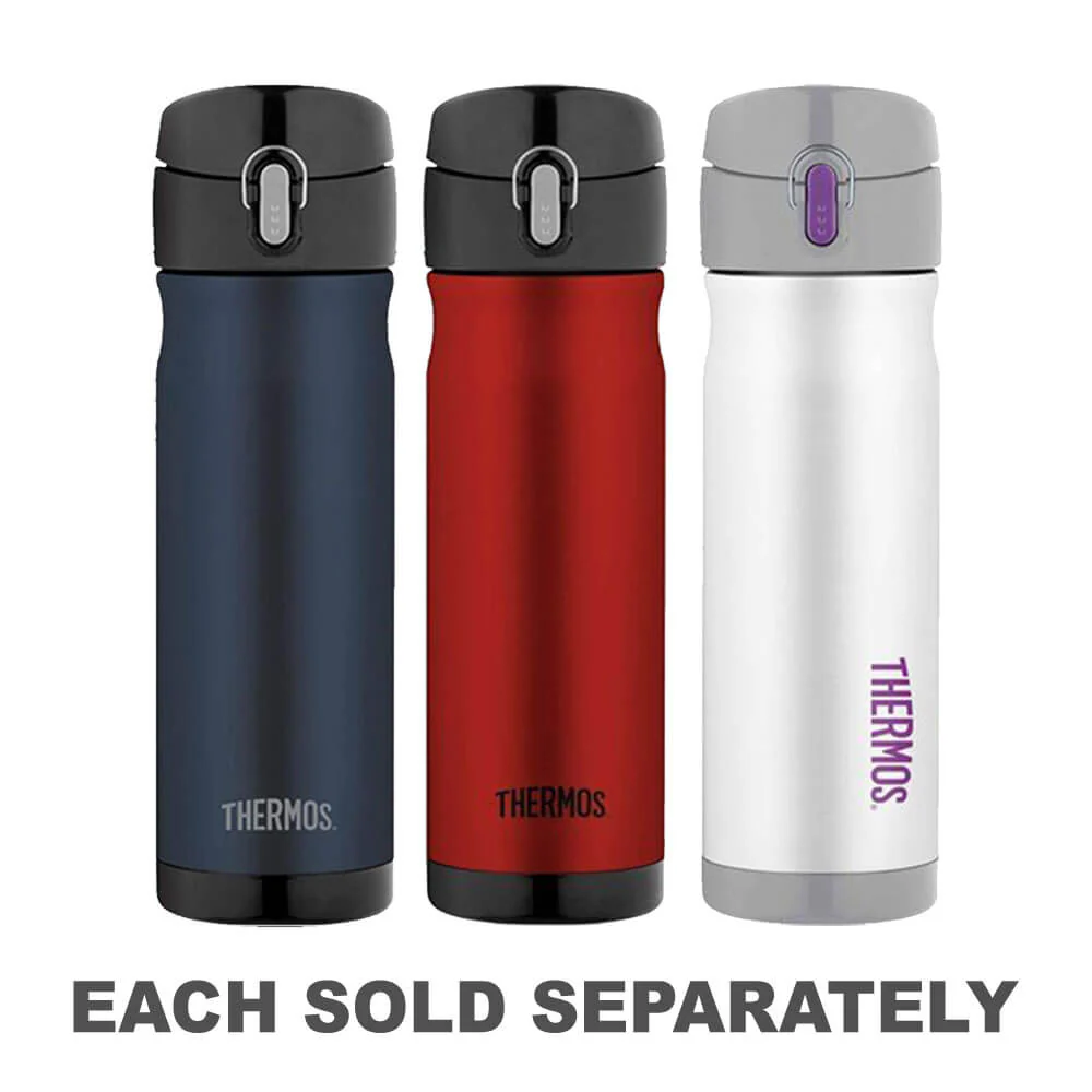
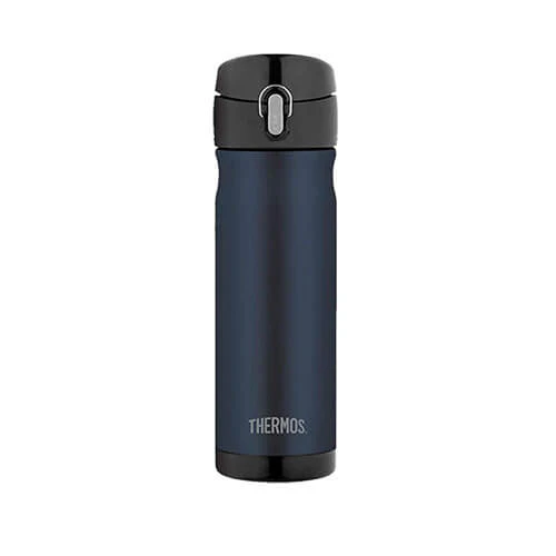
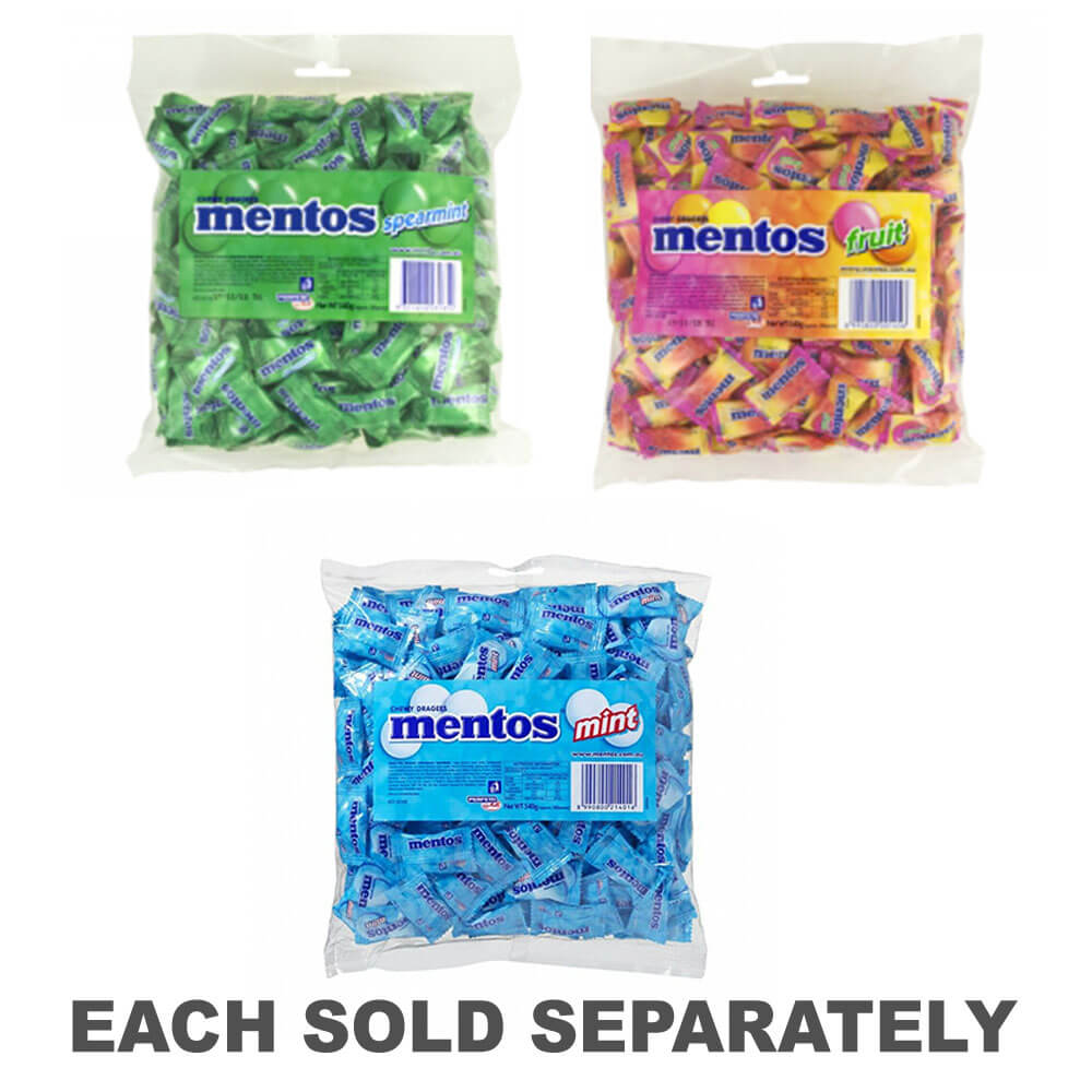
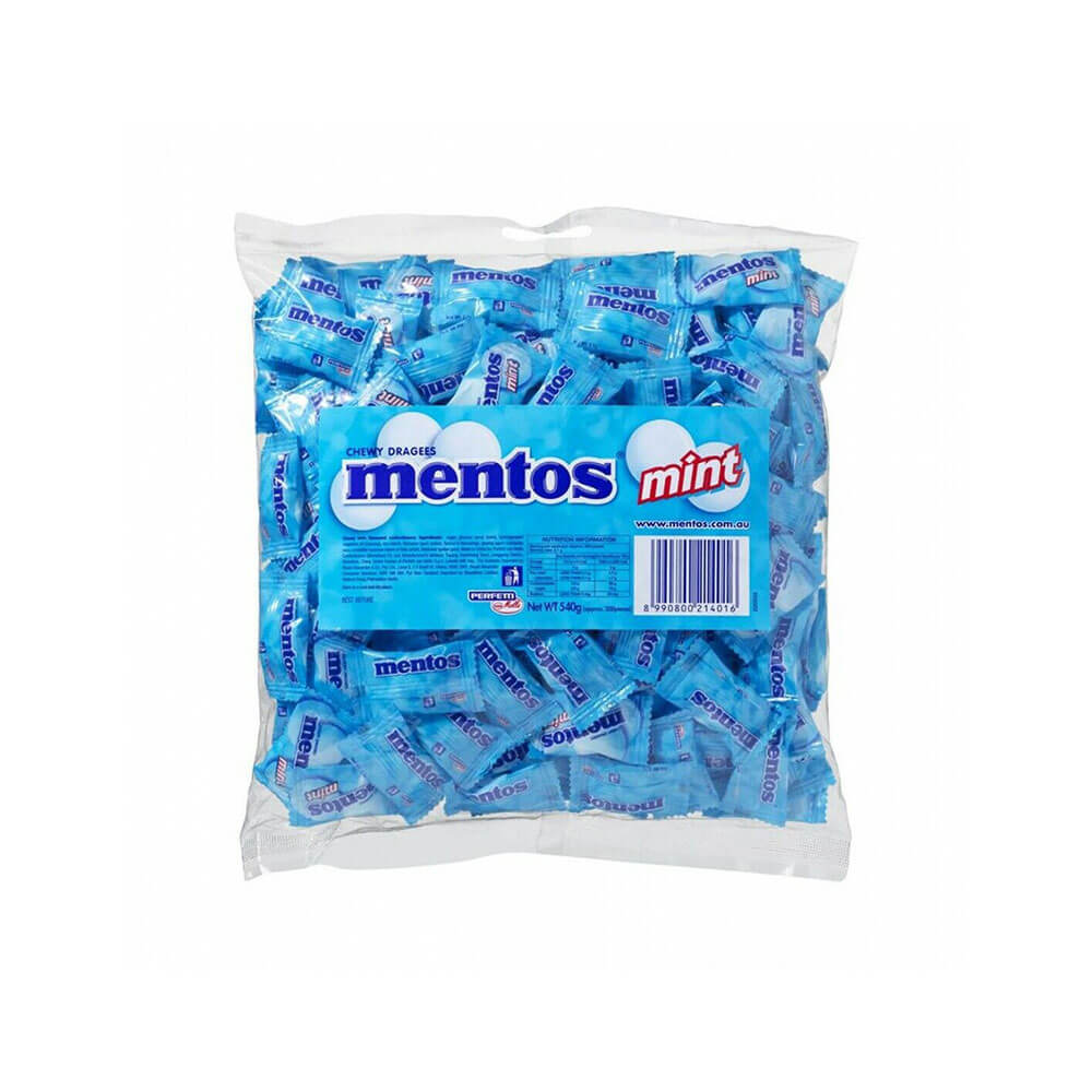
Kuvaus


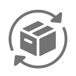
Helppo paluu
Ilmainen 365 päivän takuu
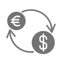
Osta ja maksa valuutassasi
Toimitetaan nyt yli 40 maahan

100 000+ tuotetta
Upeat tuotemerkit. Kaikki lahjatapahtumat.
Aiheeseen liittyvät tuotteet
Top Selling Items


Tallentaa 15%


Tallentaa 27%


Trending Products


Tallentaa 15%