

Payment & Security
Maksutietosi käsitellään turvallisesti. Emme tallenna luottokorttitietoja, emmekä ole pääsyä luottokorttitietoihisi.
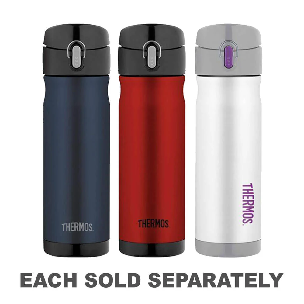
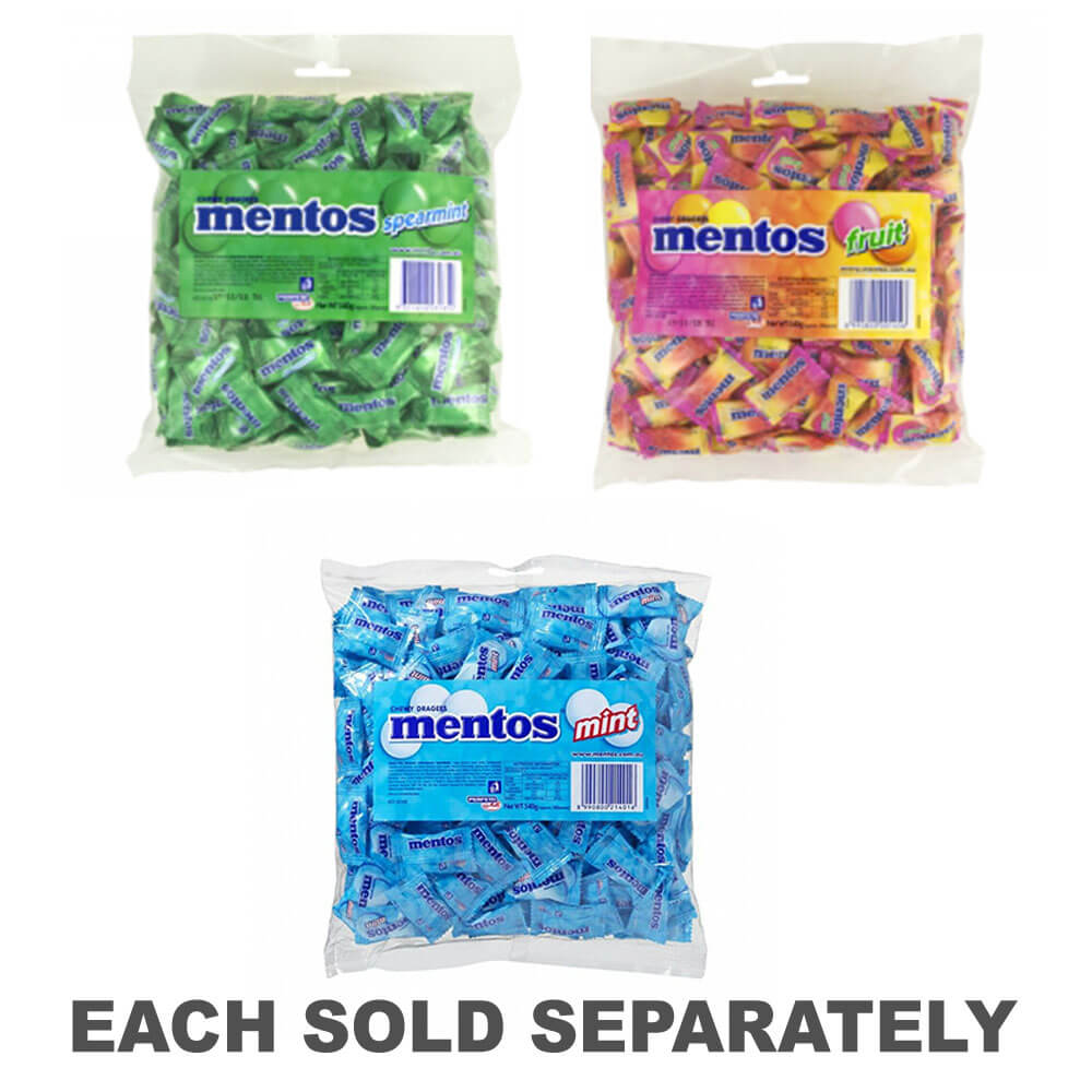
Don’t Miss These Deals!


Kuvaus
グレートデザートトラックは、北のテナントクリークから南のポートピリー、東のクナムラから西のアリススプリングスまで、イースタンシートを覆います。
マッピングにマークされているのは、24時間の燃料、キャンプエリア、キャラバン公園、施設、サービスなどを含む、HEMAマップパトロール、距離マーカー、地形の救援、およびツーリングの興味深いポイントによってチェックされた道路と4WDトラックです。
Product Specifications
- HEMAマップパトロールによってチェックされたすべてのマップフィールド
- 耐久性のある防水紙に印刷されています
- キャンプエリア
| Length : 25 cm | Width : 14 cm |
| Height : 0,6 cm |


Helppo paluu
Ilmainen 365 päivän takuu

Osta ja maksa valuutassasi
Toimitetaan nyt yli 40 maahan

100 000+ tuotetta
Upeat tuotemerkit. Kaikki lahjatapahtumat.
Aiheeseen liittyvät tuotteet
Top Selling Items


Tallentaa 15%


Tallentaa 27%


Trending Products


Tallentaa 15%