Payment & Security
Vaše platební údaje jsou zpracovávány bezpečně. Neukládáme údaje o kreditní kartě ani nemáme přístup k informacím o vaší kreditní kartě.
Don’t Miss These Deals!


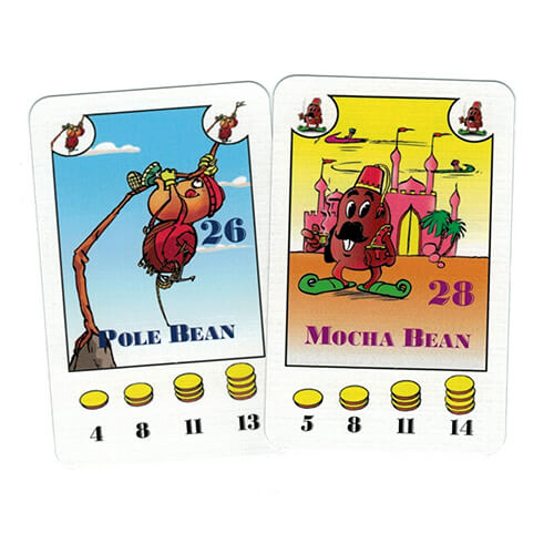
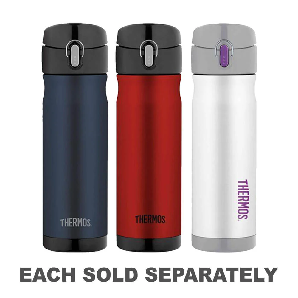
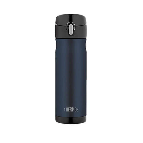
Popis

Dopřejte si neuvěřitelné úspory!
Produkty na prodej - Nakupujte hned!

Objevte naši nejnovější sbírku!
Nové příjezdy - Nakupujte hned!
Snadné návraty
365denní záruka zdarma
Nakupujte a plaťte ve své měně
Nyní doručování do 40+ zemí

100 000+ produktů
Úžasné značky. Všechny dárkové příležitosti.
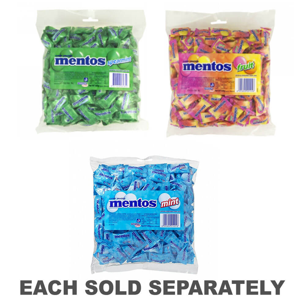
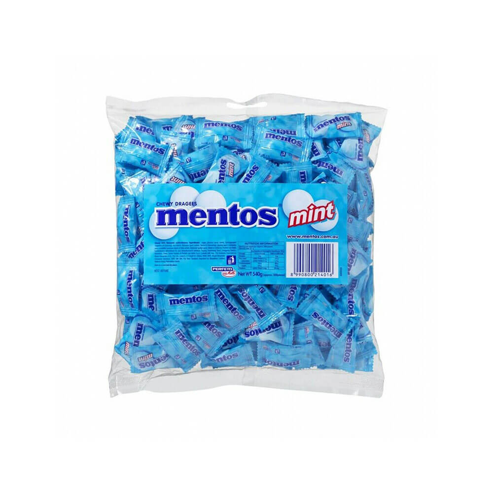
Související produkty
Top Selling Items


Uložit 27%

Trending Products